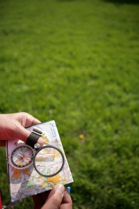
 Have you ever gone “Orienteering”? For those of you unfamiliar with Orienteering, I offer the following definition as found in Wikipedia:
Orienteering is a family of sports that requires navigational skills using a map and compass to navigate from point to point in diverse and usually unfamiliar terrain, and normally moving at speed. Participants are given a topographical map, usually a specially prepared orienteering map, which they use to find control points. Originally a training exercise in land navigation for military officers, orienteering has developed many variations. (Emphasis added by me.)
Ok, so what is a “Control Point”? I am glad you asked. Consider the following, also from Wikipedia:
A control point (CP, also control and checkpoint) is a marked waypoint used in orienteering and related sports such as rogaining and adventure racing. It is located in the competition area; marked both on an orienteering map and in the terrain; and described on a control description sheet. The control point must be identifiable on the map and on the ground. A control point has three components: a high visibility item, known as a flag or kite; an identifier, known as a control code; and a recording mechanism for contestants to record proof that they visited the control point.
OK, I could write for a week on the implications of the information above. But I will resist. Rather, I will stick to a specific application of the principle. So, just what is the principle here?
Click here to read the rest of the article »


